
Threats to Coral Reefs

Assessing the Threat
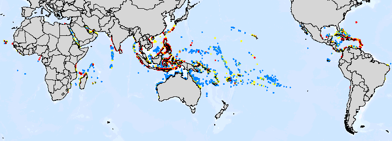
The Reefs at Risk analysis produced a map-based indicator of potential threats to coral reefs. In order to capture the potential threats to coral reefs from coastal development, marine pollution, overexploitation of marine resources, and inland pollution, distance-based threat surfaces were developed from 12 representative stressors. These included cities, settlements, airports and military bases, population density, mines, tourist resorts, ports, oil tanks and wells, shipping routes, and areas where blast fishing or fishing using poisons is known to occur. Additionally, a watershed-based model was used to estimate potential erosion within the watershed to produce an estimate of areas potentially threatened by inland pollution and sedimentation. The 13 threat surfaces were integrated with data on coral reef locations, resulting in a global classification of potential threat to coral reefs.
Data Sources: Reef locations are based on 4-kilometer-resolution gridded data reflecting shallow coral reefs of the world by the World Conservation Monitoring Centre (WCMC).
Reefs are classified according to the Reefs at Risk Indicator, an estimate of potential threat to coral reefs developed at the World Resources Institute (WRI). This estimate is a composite of four separate risk factors:
- Coastal development
- Marine-based pollution
- Overexploitation and
- Inland pollution and erosion
Map projection: Mercator
The Reefs at Risk project is a collaboration among the World Resources Institute, the International Center for Living Aquatic Resources Management, and the World Conservation Monitoring Centre.
For more information, visit the Reefs at Risk website (http://www.wri.org/wri/reefsatrisk/)
Coral Bleaching
